Earlier this month we shared a blog post with you providing an update on the distribution of the sample of workers participating in the Garment Worker Diaries project in Bangladesh. The five industrial areas in which MFO has recruited garment workers are Chittagong, Dhaka, Gazipur, Savar and Narayanganj, and within these zones there are different sub-zones.
To help you better understand these sub-zones and the living conditions of the workers, we asked our field supervisors to create a brief description detailing some of the notable characteristics and sites a visitor to each sub-zone would encounter (food stands and markets, schools, factories, etc.). The stories we tell about these areas will help you visualize where the workers live and, hopefully, allow you to feel more connected with them.
The map below shows the distribution of our sample by sub-zones. The shaded circles are the approximate center of the areas where the workers live, with each different color representing a different zone. You can click on these shaded circles to see the name of the zone, sub-zone and a brief description of each sub-zone. We have also included a count of the number of factories within a 2km radius of the center of each circle and, building on last week’ blog, the average elevation of those factories above sea level, to give you a sense of the vulnerability of workers in our sample to climate change.
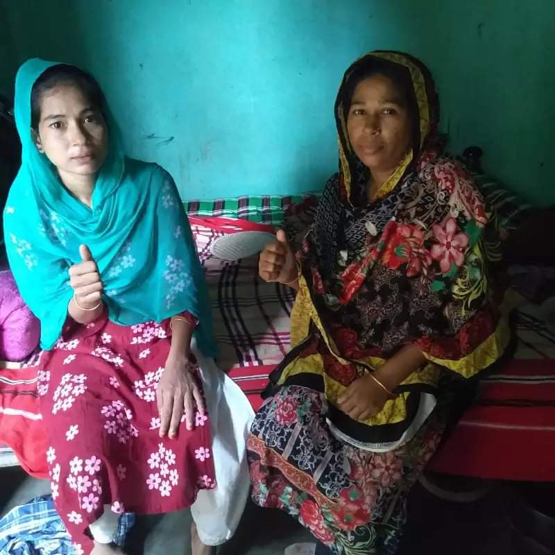
Note: Banner photo courtesy of a garment worker in Bangladesh.